Bulk convert files stored in Airtable attachment fields between different file formats using this automation!
Automation Features
- Convert images to PNG, JPEG or WebP
- Run for hundreds of records at a time
- Scheduled runs

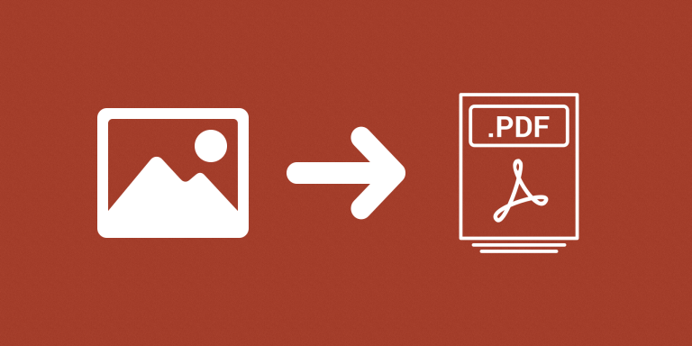
Convert images to PDF in bulk. Directly on Airtable.
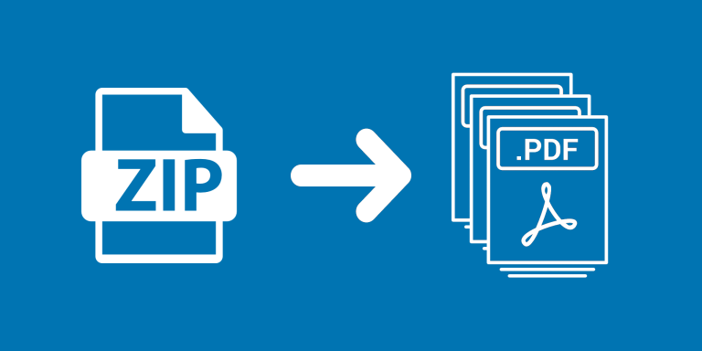
Extract individual attachments from a ZIP archive without leaving Airtable.

Automatically crop images stored in Airtable attachments!